WEB LOG OF OUR TRIP
SAN FRANCISCO TO SAN DIEGO
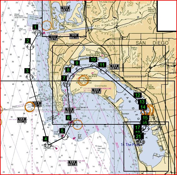
CORONADO CAYS
Day 37 - OUR LAST DAY AT SEA
2009
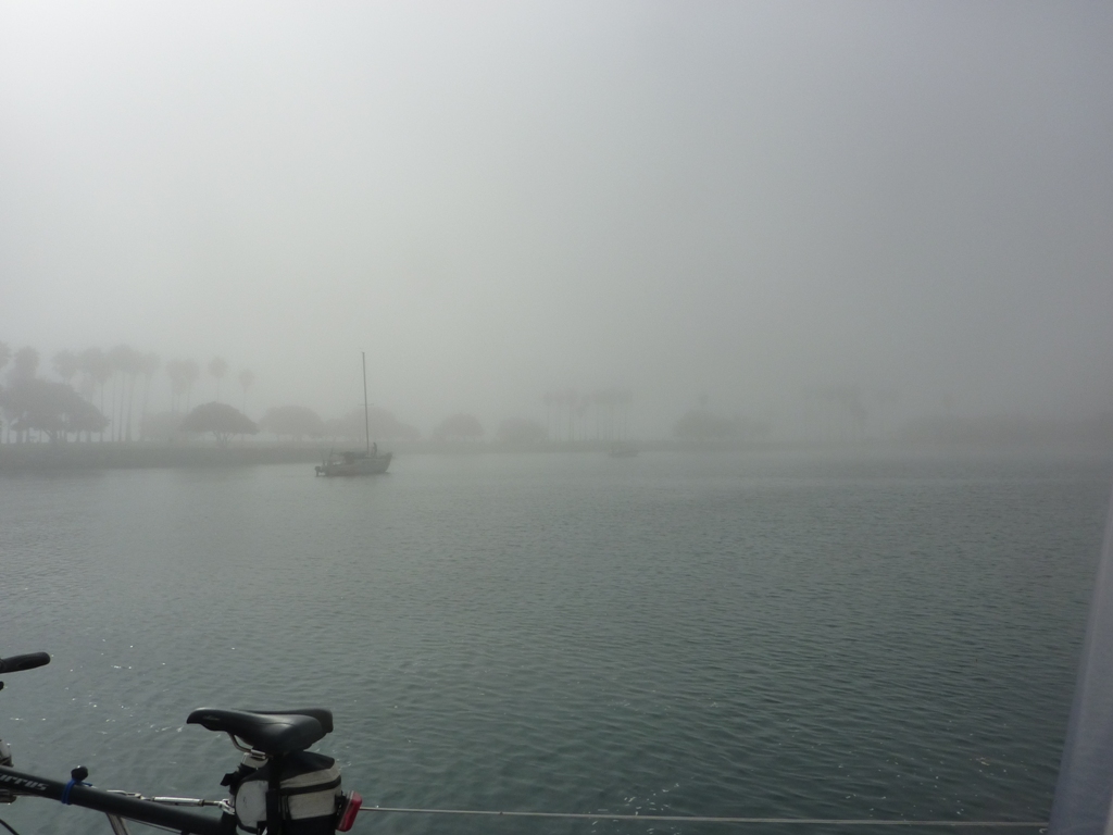
The view to which we awoke
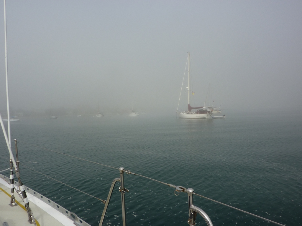
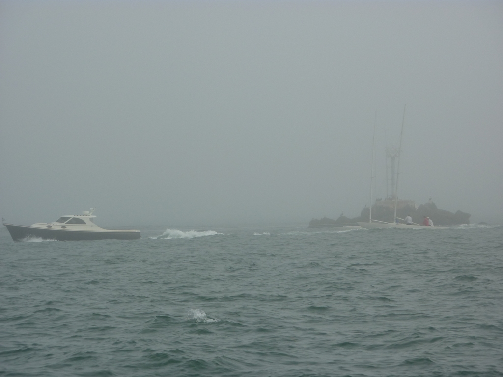
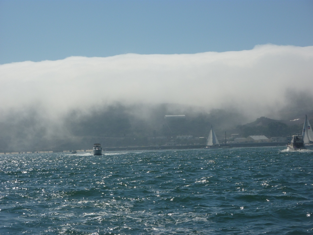
Towing sailboats in the fog. Kind of close to that rock don't you think?
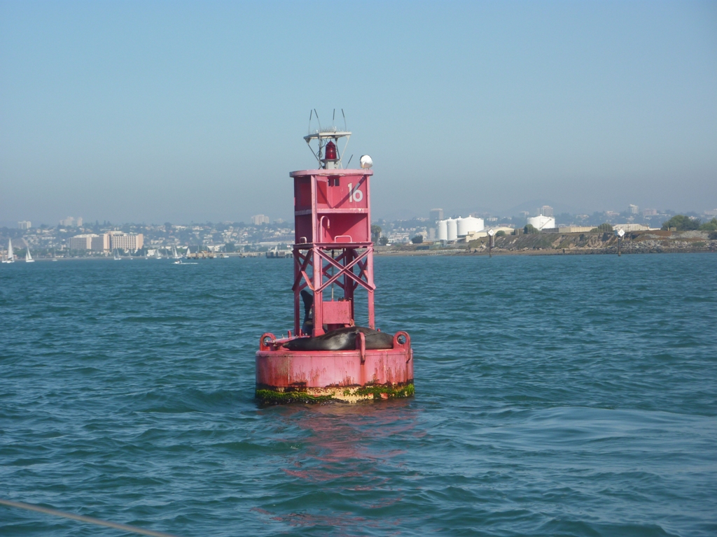
Our best view of Point Loma all day - looking back
Sea lions like the sun too
Looking back again
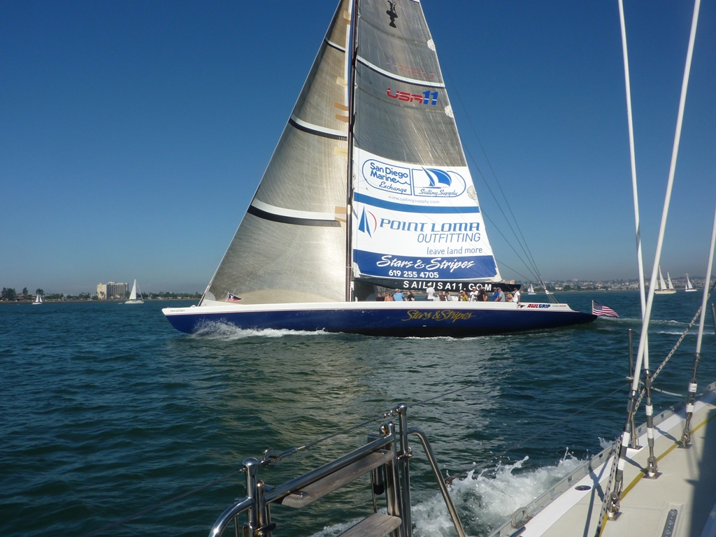
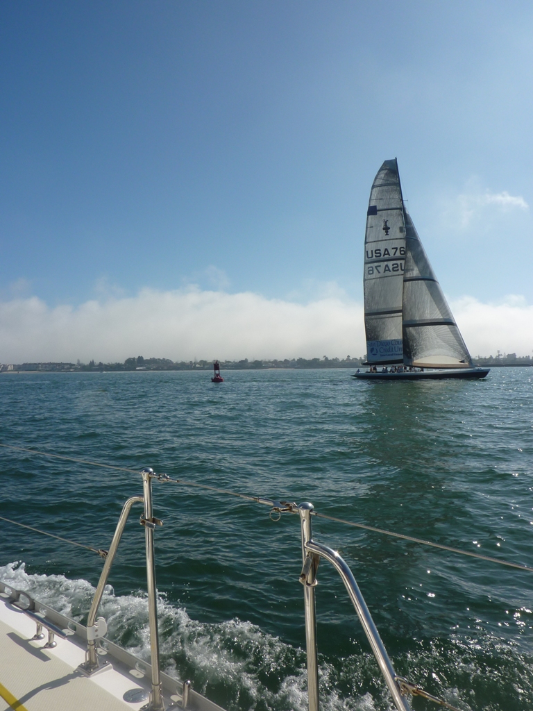
Stars And Stripes the first time
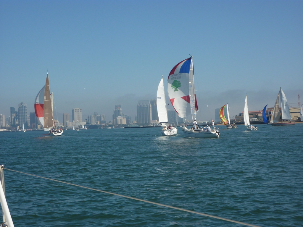
Boats everywhere and racing too
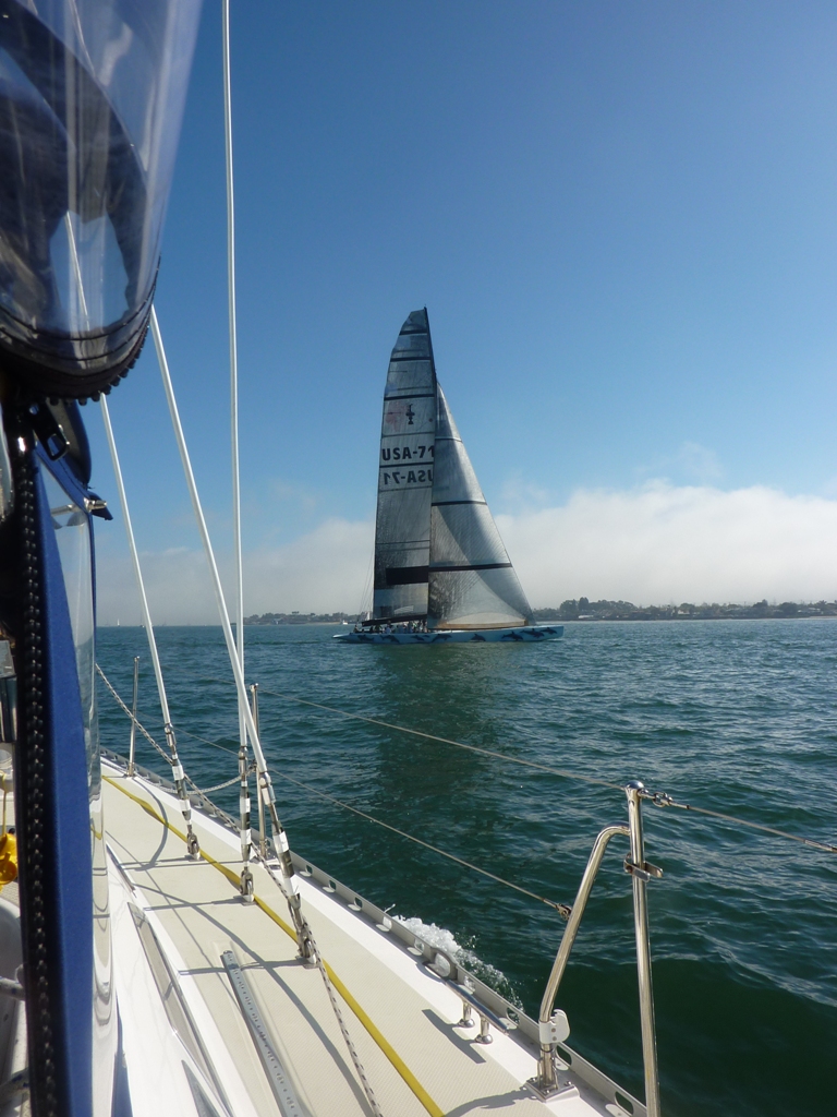
Stars And Stripes the second time and they had a friend this time
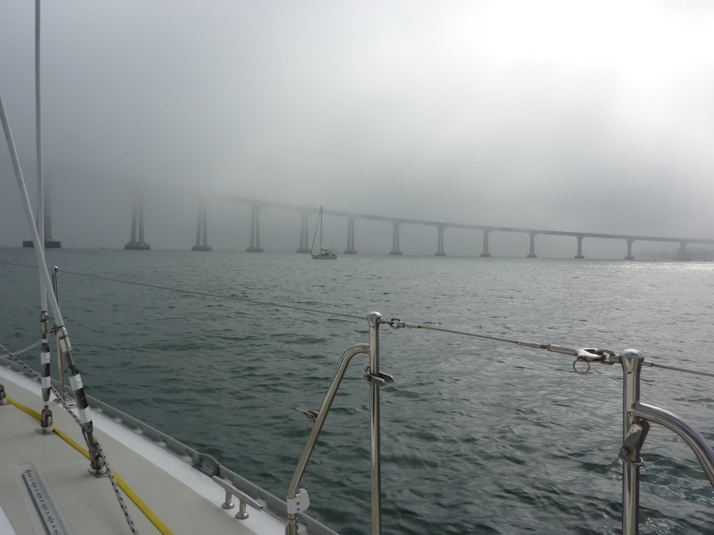
Coronado Bridge
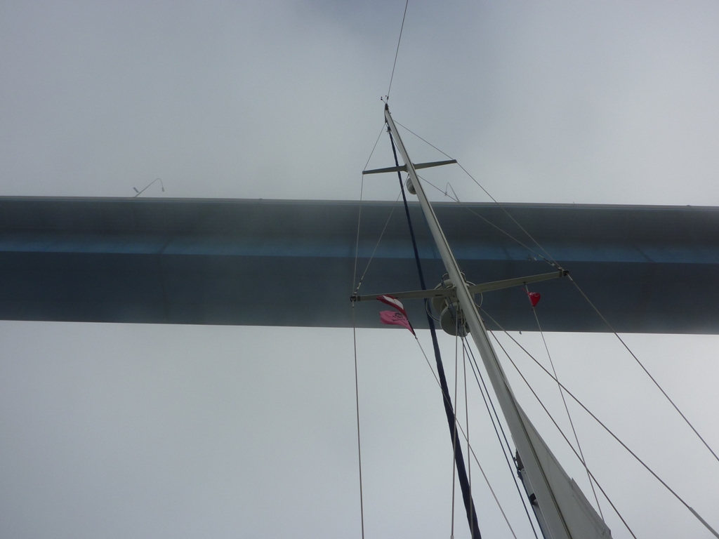
Looks like it won't clear, doesn't it?
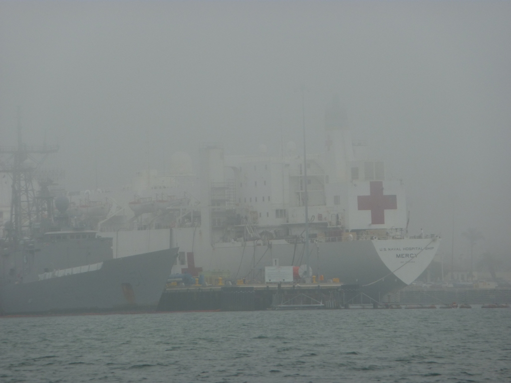
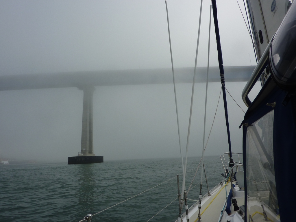
Guess it would be best if we didn't hit the hospital ship
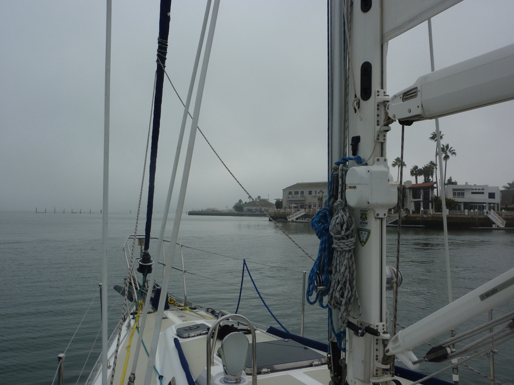
Looking at the turn for home

Does this lady look happy to be almost home or what?
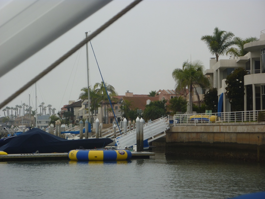
Our first view of the house
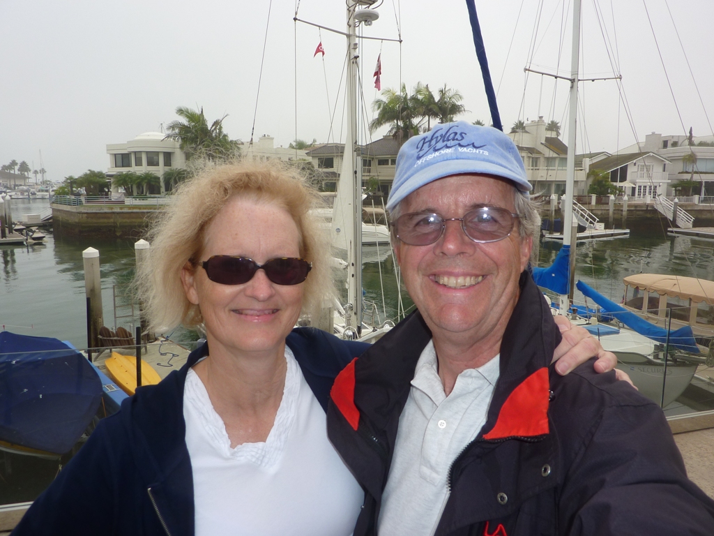
A great end to a long trip
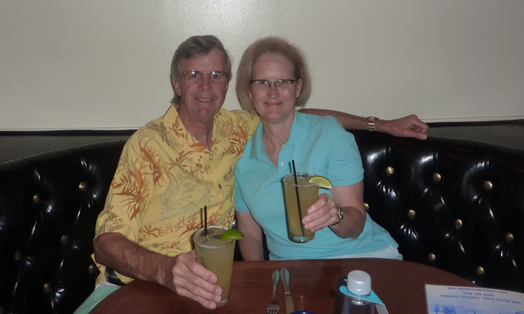
Toasting our success
Oct 17
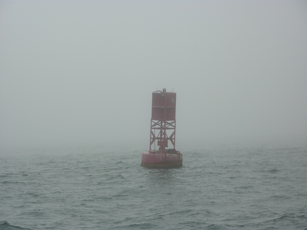
We awoke to fog, thick fog with visibility of no more than 300 yards. There is a dredge and its tug working just behind us and there are times when we can only hear, not see them. We waited until after 11 to weigh anchor (yes...like Anchors A Weigh Me Boys). Then we crept slowly out of Mission Bay channel with Sue at the helm watching the radar and the GPS and Craig standing outside the cockpit watching for anything that moved. Out automatic fog horn was tooting away. In 1/4 mile visibility, other boats appear quickly out of the fog and you have only a short time to react. Our only close approach was with a tug that was mysteriously waiting in the middle of the channel just outside the breakwater. After we got outside the harbor, the visibility did not improve much, so Sue got out her computer and called up the website that shows large-ship traffic in major harbors. We looked at the San Diego site and were relieved to determine that the only traffic was Navy related and south of our area of transit.
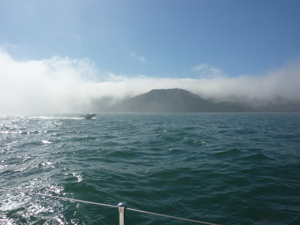
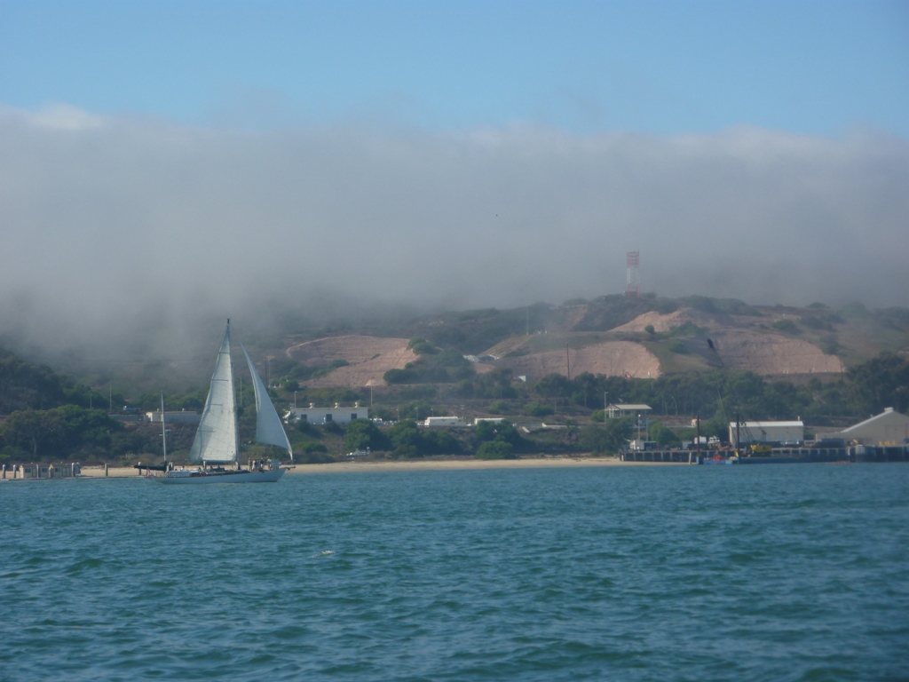
We had hoped to be able to view Point Loma, but with 1/4 mile visibility, we were lucky to even be able to see navigation markers when we were almost on top of them. As we entered the main channel to San Diego Harbor, we began to see more traffic including a boat towing two becalmed sailboats. Then, low and behold, we came to the end of the fog, like opening a curtain and the sun was shinning and it was a beautiful day in the downtown harbor. In fact, it was such a beautiful day that it seemed like every boat in San Diego had decided to go for a ride. There were boats everywhere, dozens, going in every direction and most of them were sailing. It was as crowded Since we were motoring, we had no right-of-way on anyone so we dodged boats for the five miles through the city. There are two former Americas Cup boats that take large groups out on San Diego Bay. These are very big sailing vessels and they go very fast; we dodged them twice!
Whew! At least the worst is over...NOT! As we approached the beautiful Coronado Bridge, we realized that we could barely see the upper part of the bridge. In fact, by the time we had passed under the bridge, we were back in 1/4 mile visibility fog; no wonder all the boats were right downtown. it was so thick that we decided to take the long way home and go all the way down the Navy ship channel to the line of shoal markers that would lead to our home channel. I think I now know why the Coast Guard spaces navigational markers at the range they do...its so you can see the next marker from the one your are at in 1/4 mile visibility fog. It works, by boy is it tiring.
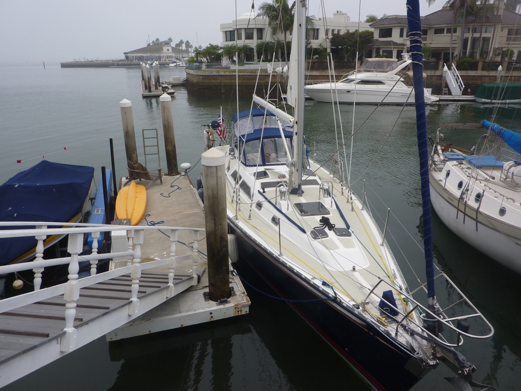
We finally made it to our home channel, rounded the curve and there was the house and our dock. Sue make a perfect landing, lines were secured and we congratulated ourselves on a trip well sailed.
We are at our Coronado home and happily drifted off to sleep in a bed that does not roll, pitch or yaw.